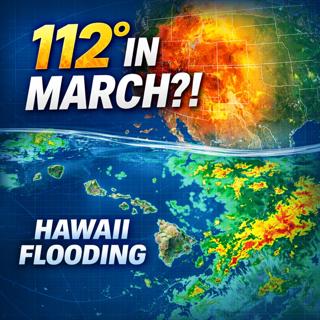
This Should NOT Be Happening in March… 112° Heat + Hawaii Flood Disaster
In this episode of Meteorology Matters, we break down two extreme and highly unusual weather events happening right now:🔥 Record-shattering March heat reaching 112°F🌊 Dangerous flooding impacting pa...
21 Mars 38min

Historic March Heat Wave: Spring Surge Threatens 100s of Records Across the East
A major springlike surge is underway across the eastern two-thirds of the United States, with temperatures forecast to run 15–25°F above average and hundreds of daily records potentially at risk durin...
3 Mars 39min
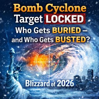
Blizzard of 2026 Target Locked: Who Gets Buried or a Bust?
A rapidly intensifying nor’easter is targeting the Northeast with blizzard conditions and up to 2 feet of snow. But one small shift could change everything. Meteorology Matters by Meteorologist Rob Jo...
22 Feb 29min

EPA Repeals the Endangerment Finding: The Climate Domino Just Fell
The EPA just removed the legal backbone of US climate regulation.This may be the single biggest policy shift in American environmental history and the fallout is already beginning.On February 12, 2026...
13 Feb 27min

Florida’s Coldest Outbreak in 15 Years: Freeze Warnings, Flurries, and What You Must Do Now
Florida is facing one of its coldest weather outbreaks in roughly 15 years, with multiple hard freezes, dangerous wind chills, and conditions many people, homes, and landscapes are not prepared for. T...
29 Jan 24min
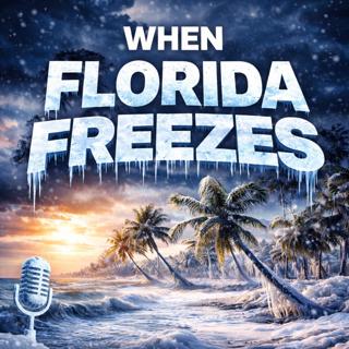
When Florida Freezes: The Cold Snaps That Changed the Sunshine State
Florida isn’t supposed to freeze — but history tells a very different story.In this episode, we take a deep dive into Florida’s most impactful cold snaps, from historic freezes that reshaped agricultu...
26 Jan 28min
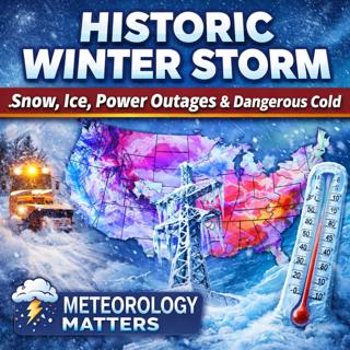
Historic Winter Storm Threatens Two-Thirds of the U.S.: Snow, Ice, Power Outages & Dangerous Col
PODCAST TITLEHistoric Winter Storm Threatens Two-Thirds of the U.S.: Snow, Ice, Power Outages & Dangerous ColdPODCAST SUMMARY / DESCRIPTIONA massive and unusually widespread winter storm is unfolding ...
23 Jan 21min

Born in the Eye of the Storm: How the University of Miami Became the Hurricanes
As the Miami Hurricanes prepare for the College Football National Championship on MLK Day 2026, their name traces back to the Great Miami Hurricane of 1926 — and a storm-born identity.As the Miami Hur...
17 Jan 24min